Today (Wednesday) will be the hottest day of the week with temperatures between 89 and 95 degrees and heat indicies approaching 104 degrees in locations.
A heat advisory is in effect from noon to 8 p.m. ET.
The National Weather Service is predicting a slight risk for severe thunderstorms late Thursday afternoon that could carry over into the evening.
Starke County Emergency Management Agency Director Jay Nier shared that some primary threats of the predicted condition include locally heavy rainfall as well as a low threat potential for damaging winds and large hail.
A Flash Flood Watch will remain in effect until 11 p.m. CDT/ midnight EDT tonight (Friday 6/22) for portions of Northern Indiana, including Marshall, Pulaski and Starke Counties.
NWS reports that scattered showers and thunderstorms capable of producing brief, localized very heavy rainfall will continue to be possible throughout the evening. Continue reading →
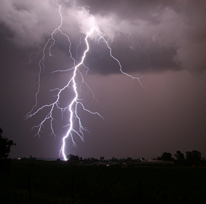
Parts of the WKVI listening area may be in for severe thunderstorms this evening. The National Weather Service reports a slight risk of severe storms south of U.S. 30. The main threats are large hail and damaging winds, and an isolated tornado may form. Listen to WKVI for the latest on any severe weather that may develop. Should the National Weather Service issue a watch, it just means conditions are favorable for a weather outbreak. A warning means that weather is here, and you should take shelter immediately. If you don’t have a basement, go to an interior room in your house that does not have windows until the storm passes. Check your flashlights and make sure the batteries work, charge your cell phone and keep a battery-operated radio handy just in case. More thunderstorms are possible tomorrow, including an isolated severe thunderstorm tomorrow evening. The threat of severe weather lessens as the week goes on, but rain is in the forecast through early next week.
Significant flash and river flooding are possible through the end of the week, according to the National Weather Service. Rainfall totals of between 1 and 3 inches are expected over the next 24 hours, with locally higher amounts possible. Soils are already saturated from recent rains, making low-lying areas much more flood prone.
Severe thunderstorms accompanied by strong winds and damaging hail are also possible into the overnight hours. The National Weather Service is tracking an intense thunderstorm complex, known as a derecho, which could span a 1,000 mile swath across the Plains and Midwestern states. As always, we will bring you the very latest on the air and online at WKVI.com as well as on Facebook and Twitter.